

By Brigitte Treumann
A few years ago, I joined German friends on a voyage from Venice to Patras in Greece and thence to their romantic abode, a restored olive mill farm, in the Mani region at the very tip of the Peloponnese. Rather than fly, we decided to take the ferry that makes weekly runs from Venice to Patras at the northern end of the Peloponnese. My friends had taken this trip many times, but to me this was an exhilarating new experience, and I greatly looked forward to “sailing” the Mediterranean seas for two days.
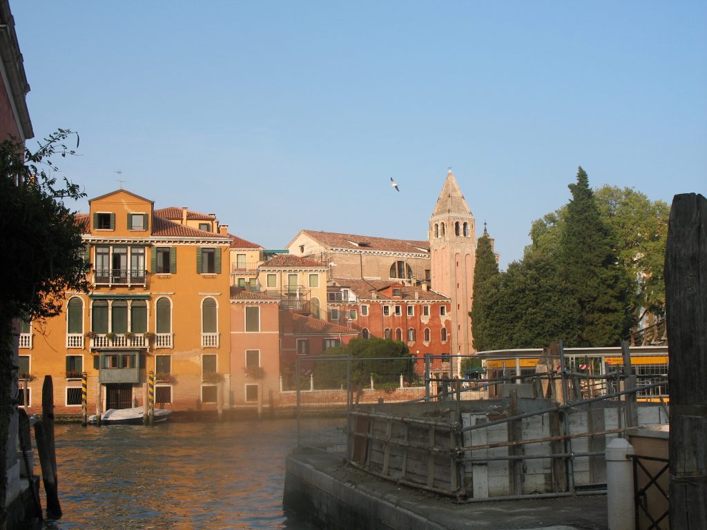
The group met in Venice a day before embarking. That was just enough time for leisurely meandering through that amazing city, have an ombra (a charming local word, meaning shadow, for a small glass of local wine — you drink it in a pleasant shady spot) before dinner and coffee on Piazza San Marco.
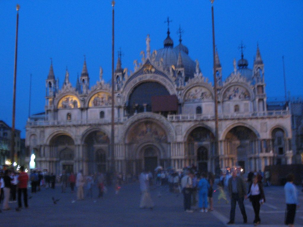
San Marco on an autumnal eve.
Gliding towards the open sea the next morning the views of Venice were sublime. A brilliant line-up of baroque churches, palazzi with their orientalizing facades and ancient buildings in their carmine-red, burnt Siena and white marble glory sent us on our way.
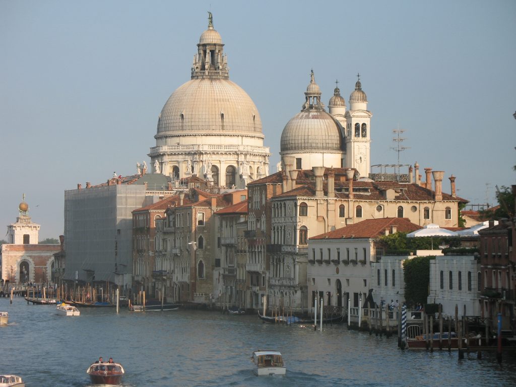

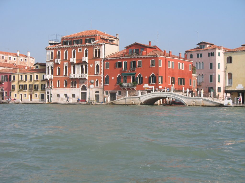
Deckside views of La Serenissima
There is a theory that ancient sailors were able to navigate the Mediterranean sea in their small boats guided by the Pole star or else by reference to land since in favorable weather conditions, the coast or the mainland (and islands) are visible from many points in the Mediterranean. Those of us who studied the exploration of and connections within the Ancient Mediterranean have always been intrigued by the dynamics and strategies of those mariners of old. Did they crawl, hugging the coasts like “frogs”, practicing costeggiare (clinging to the coasts), or were they bold and set their sails into the open sea where knowledge of currents, wind, weather, and the starry sky was indispensable.
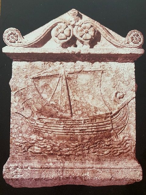
A Phoenician sailing boat – 2nd century B.C.E
It was more than thrilling to observe this visibility from the deck of our vessel. As dusk settled on the waves on that first day, I could see twinkling of lights on the Italian coast as well as on the opposite mountainous coastal lands of Dalmatia.
I spent the rest of the voyage to Patras mostly on deck to photograph hugely bulging, sculptural clouds above the “wine-dark” sea, and what I could glimpse of those islands the great Fernand Braudel * so aptly describes as “ stringing like a convoy of ships”, particularly in the Ionian Sea, of Zante, Kephalonia, Santa Maura, and Corfu, and mighty little Ithaka.
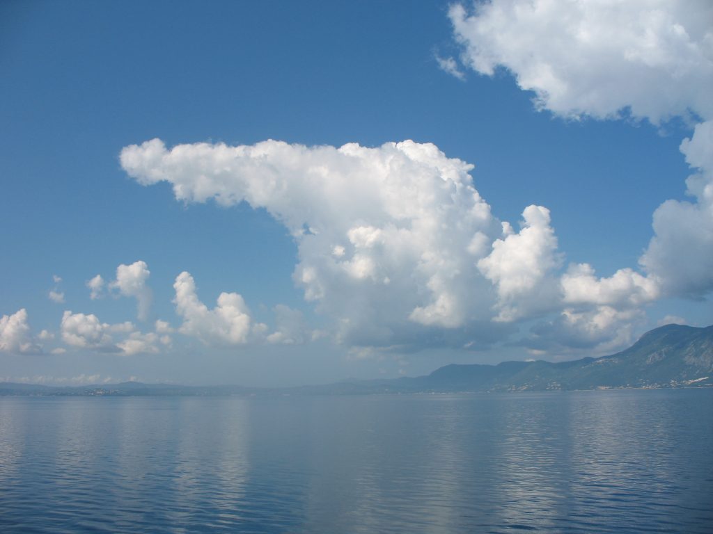
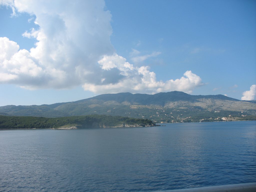
Islands in the Sea.
Patras, our port of destination, is now a modern, lively city and considered Greece’s “Gate to the West”. We had, unfortunately, not enough time to explore the town with its ancient core settlement and the impressive Byzantine fortress atop Mount Panachaikon, the last elevation before the Gulf of Patras.
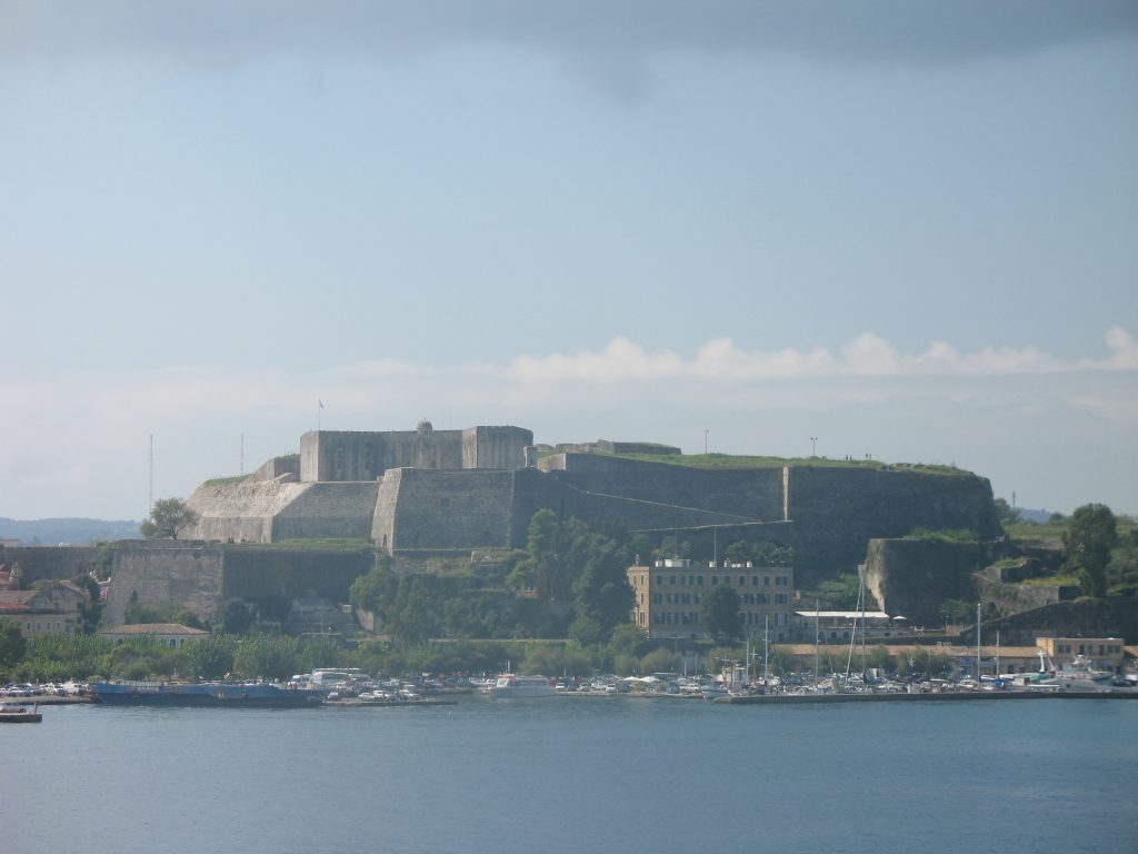
Byzantine fortress near Patras.
Instead, my friends decided to continue in a southerly direction to their house in the Mani with plans for a major detour to the westernmost Peloponnese peninsula. En route, we stopped overnight at Pyrgos/Antique Olympia – the famous site of the original Olympic games. I must confess I was a bit disappointed by what I considered paltry remains at the site. It’s not fair, I know, but once you have been in Egypt and become used to seeing much more ancient monuments in their often well-preserved splendor, you are spoiled. Though I did enjoy walking around the columned palaestra. (the wrestling school or gymnasium).
Our next visits to Pylos and Methoni were well worth the detour. Nature and antiquity, Homeric legend of Nestor’s palace and Telemachos’ quest in search of his father Odysseus across the Ionian Sea came alive here in this south-westernmost corner of the Peloponnese.
“We went ashore at Pylos to Nestor, lord and guardian of the West, who gave me welcome in his towering hall……” (Homer, the Odyssey – book 17, lines 77-134)

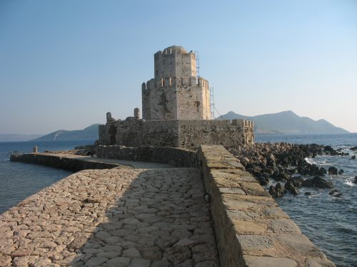
Methoni Fort.
I felt at home in my head and heart, knowing those lines, loving that story since I was in my early teens. I could still hear our brilliant teacher recite them in ancient Greek. Pylos (sometimes also called Navarino – site of a famous early 19th-century naval battle) is a pleasant port town with an impressive harbor on the Ionian Sea and wide sandy beaches. Homer speaks of Nestor’s kingdom as the “sandy Pylos.” His presumed palace lies not far from the city and while there, too, little is left from its original splendor, we can speculate that it would have resembled the brilliant palaces of the same Mycenean/Minoan Late Bronze Age culture in Knossos on Crete.
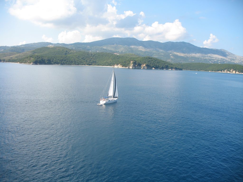
Ionian Sea — Ever in motion.
Nearby Methoni (also known as Modone, so named by its Venetian overlords during the 16thcentury) is, if possible, even more picturesque than Pylos. It occupies, or so it seemed to me, the extreme end of that peninsula, surrounded by the often turbulent sea. The town was well guarded by a spectacular mole, crenelated walls, and an impressive gate of a grand castle sitting atop a small islet. But these intricate fortifications were not able to withstand the many assaults of several warring factions, the voracious Venetians and conquering Ottomans who, for centuries, fought over supremacy in the Mediterranean. The most spectacular event in this conflict was, of course, the Battle of Lepanto in 1571 where the armies of the Holy League -Spain and Venice – lined up against the entire Ottoman navy in the Gulf of Patras. The Ottoman navy was dealt a near-fatal blow as they retreated east into the Aegean. The battle, so it is said, brought peace or a pseudo-peace between the “two political giants of the sea, the Habsburgs and the Ottoman empires.” It has also been suggested that the events at Lepanto drew an invisible line between an Eastern Islamic (Ottoman) and a Western Christian Sea.
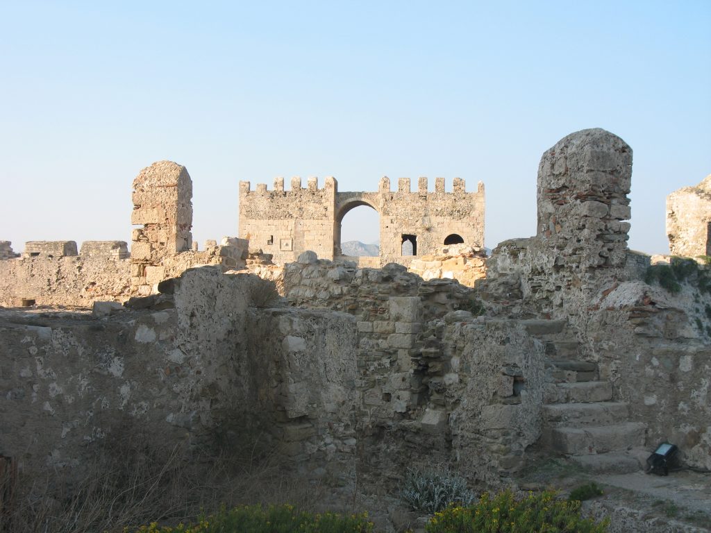
Methoni castle.
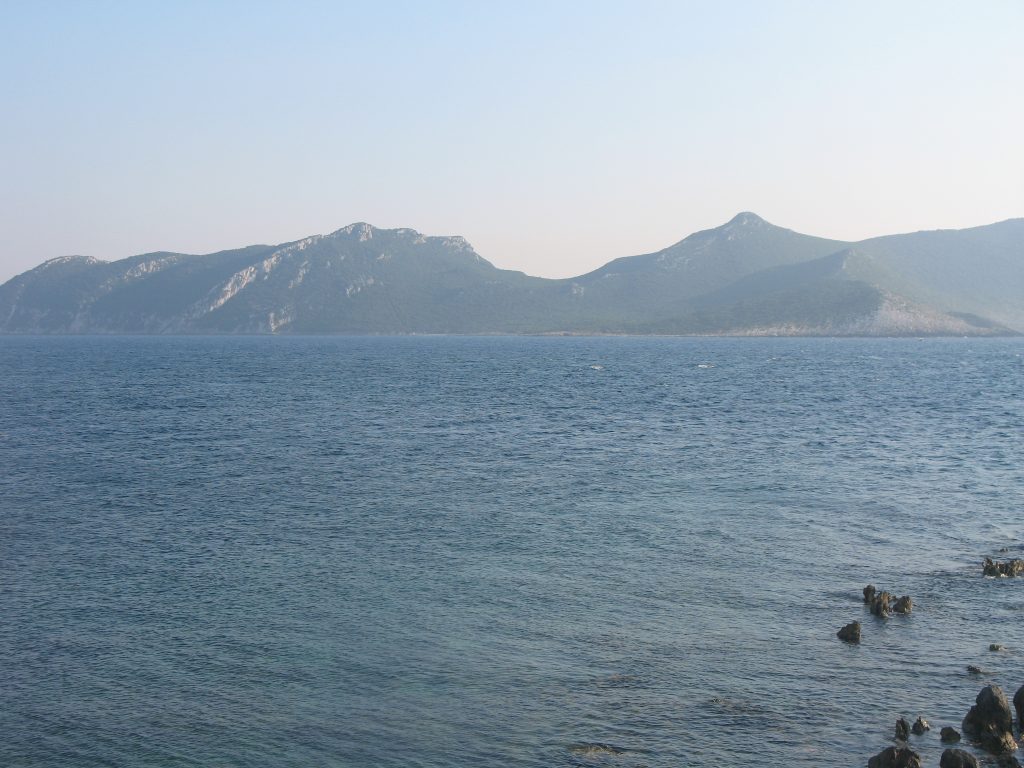
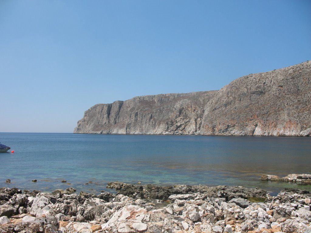
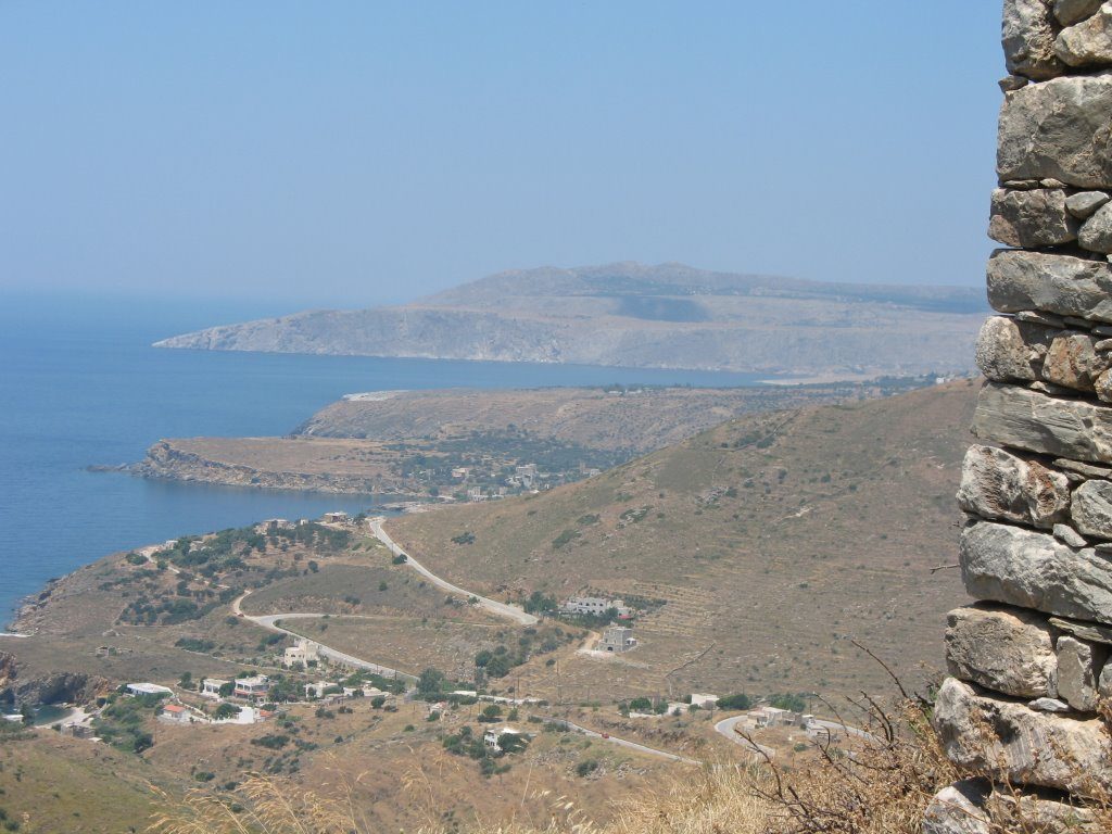
Our little caravan turned inland towards Kalamata — well known for it succulent, wonderfully spicy black olives — and from there south into the so-called middle finger of the Peloponnesian peninsulas. We arrived just before dusk at one of the larger hamlets in what is known as the Mani region. Unlike the flat, sandy, smiling landscape of the southwestern Peloponnese, I was immediately struck by the rocky, slightly forbidding but dramatic coastline here. Strong waves lashing at its stony shore where thorny bushes and tangled underbrush, the typical Mediterranean macchia or shrubland grew in untamed profusion. The views from across the bays to farther-off mountains and islands illuminated by the evening sun were pure magic.
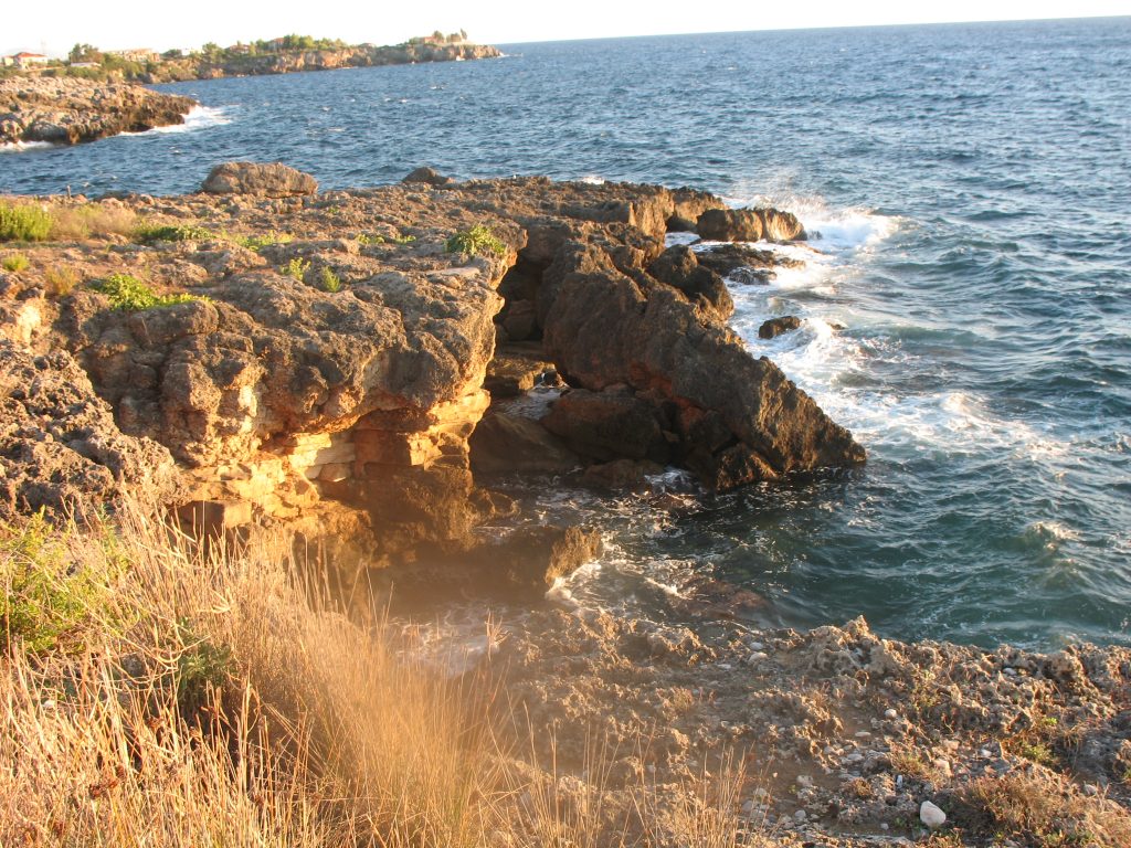
Mani coast.
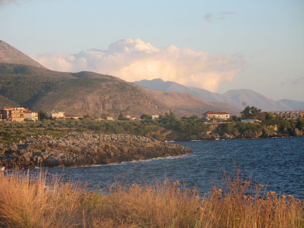
As the evening wore on the snow-covered mountain range Taygetus came into focus. It dominates the geography of the area, running spinelike from north to south. Its highest mountain at 2470 meters is named for the Prophet Elias (Profitis Ilias). I fantasized about climbing the peak and having a meeting with the famous prophet. But, alas, that was not to be. Eventually we reached our abode, the former olive mill farm in Kotroni. Kotroni on a steep hill was once a thriving little village, accessible only on foot or pack animal. Even now cars have the occasional problem to scale the incline. Eventually, many villagers abandoned their farms to seek greener pastures in nearby towns, other European countries, or the United States. I met one old crone (that is a good Greek word) who still maintained her place and was often seen leading her goats to nibble in the nearest brushwood patch. She apparently enjoyed gossiping with those “new villagers”, mostly Germans, who had bought those abandoned farmhouses and converted them into charming rustic summer residences with all modern comfort. I was pleased to see how most houses had really kept their strong and rock-like character, redesigned to fit into the local cultural context. Neighbors of our friends pretty much lived there year-round and are deeply involved with their own substantial olive groves.
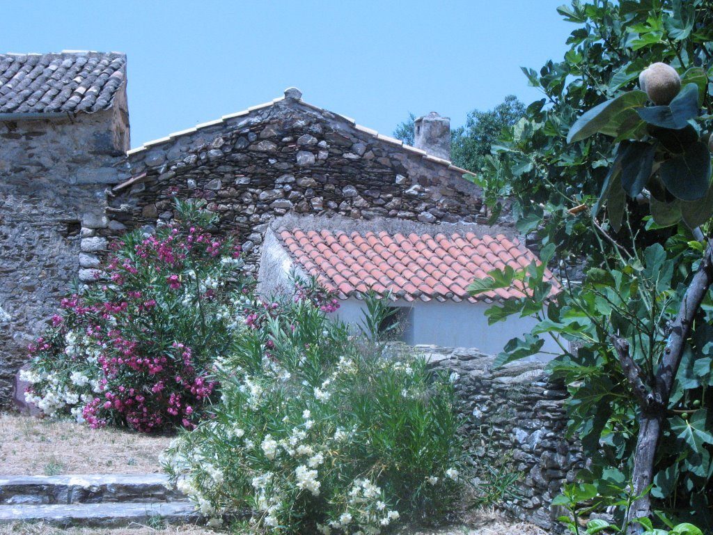
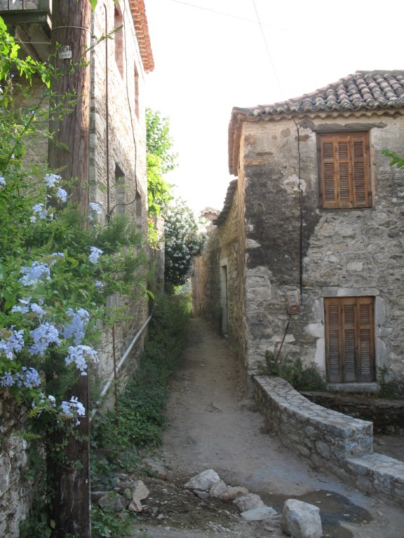
Kotroni architecture.
My friends were kind to give me a more than fleeting impression of this wildly beautiful, rough, vaguely menacing, and historically immensely fascinating region. Besides the spectacular nature – views of steep cliffs dropping precipitously into the deep blue sea, pleasant bays teeming with fish and surrounded by a thousand rhododendron bushes, naked rock outcrops rising just above the narrow road, the silvery olive trees everywhere – the Mani has a singular combination of cultural traits. It, like many other regions in Greece, was fought over by the Byzantines, the Franks, and the Saracens (the Ottomans). But it was my impression that the Maniots established and held on to their own version of religiosity, their own internal interactions, their architecture — the so-called tower-houses being the most prominent element. “The towers of Mani never fail to impress… made of stone, they may reach 20 meters in height and may be comprised of 3-5 floors. The use of local stone made them undistinguishable when seen from a distance…” Supposedly they were to protect from pirates, but I also heard of plenty of internal and murderous strife in past centuries. Yes, I was duly impressed by these gray piles and as you get closer there hangs about them a sense of darkly dread.
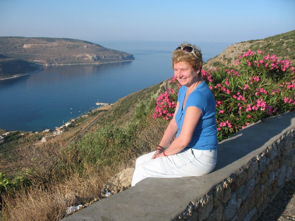
Contemplating the wild Mani beauty.
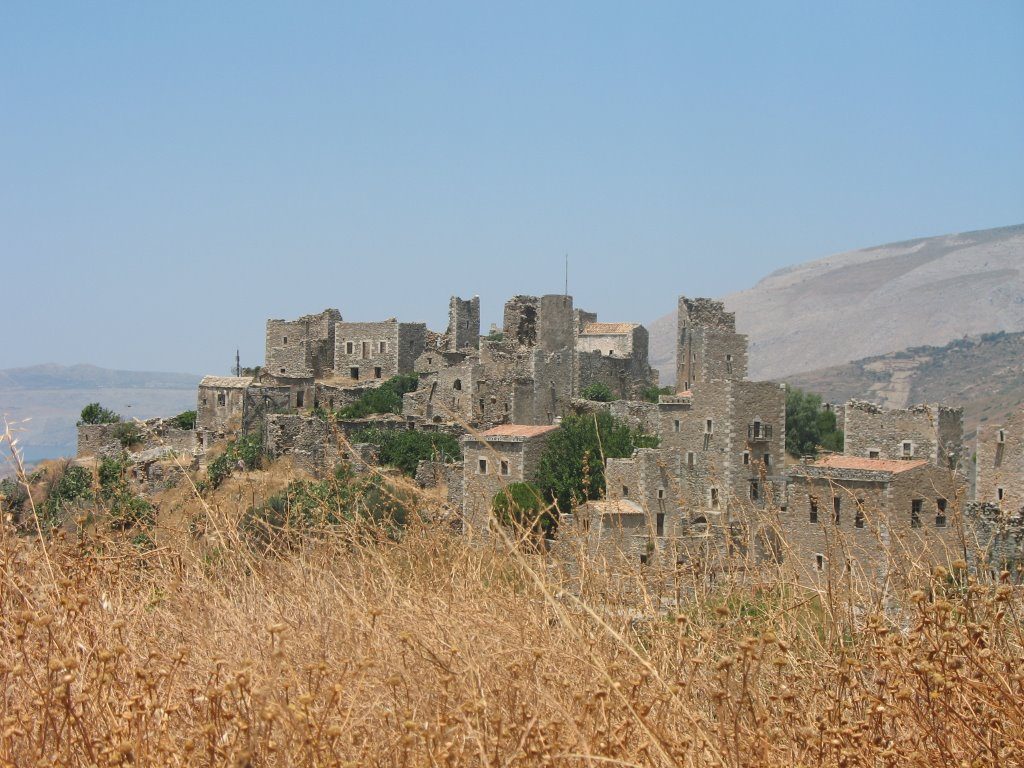
The famous towers of Mani.
I wish to say that this description of the Mani can, in no way, do justice to the complicated and multifaceted history of this region and I defer to and recommend highly the great travel writer Patrick Leigh Fermor’s Mani. Travels in the Southern Peloponnese. He and his wife had a romantic villa in Kardamily, down the hill from our perch, where they lived most of the year. I would have loved to meet him. All his travel books are among my favorite reading.
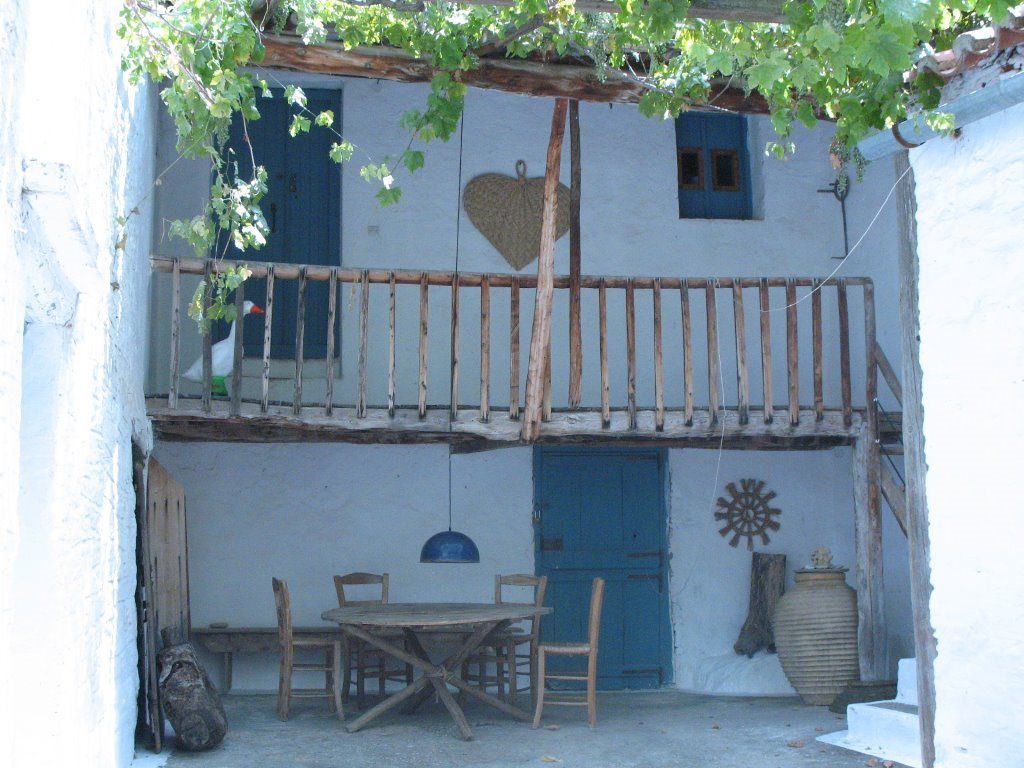
Happily, our group had also great fun visiting the simple but delicious restaurants in nearby villages by the sea, went swimming in quiet waters off the sunny, flat beaches of Stoupa, Kardamily, and Agios Nikolaos. Finally, it was also lovely to “hang” on the sunny terrace and entertain neighbors, friends of friends, and as a delightful coincidence, my brother Wilhelm and his charming wife Sabine who happened to vacation in everyone’s favorite hotel by the Kardamily beach, called Karamitzi.
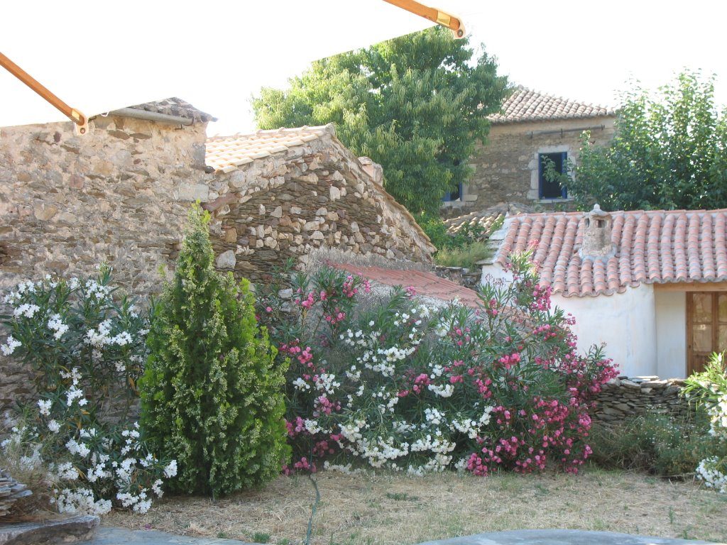
Sunny terrace in Kotroni.

Cheerful siblings sipping Ouzo.
Some reading recommendations and a note about the Battle of Lepanto
Patrick Leigh Fermor, A Time of Gifts. 1977; Between the Woods and the Water, 1986; Mani. Travels in the Southern Peloponnese, 1984. The first two books recount his youthful (he was 19) walk from the Hook of Holland to Istanbul (or as he prefers Constantinople). My favorites. He has written extensively on Greece and had an extraordinary life.
Fernand Braudel, the great French historian (1902-1985) whose classic The Mediterranean and Mediterranean World in the Age of Philip II. 1949, and many subsequent editions make for vast and instructive reading and learning.
Lionel Casson, Ships and Seamanship in the Ancient World.1970
Re Lepanto:
Cy Twombly, (1928-2011) one of the great American painters, sculptors, and photographers of the 20th century created a large narrative cycle dedicated to the memory of the Battle of Lepanto. His searing images, in which oranges and bright reds dominate, focus on the immense loss of lives in that battle.
He also created such a work to commemorate the Iliad, about the final days of the Trojan War.