by Jill Lowe
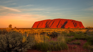
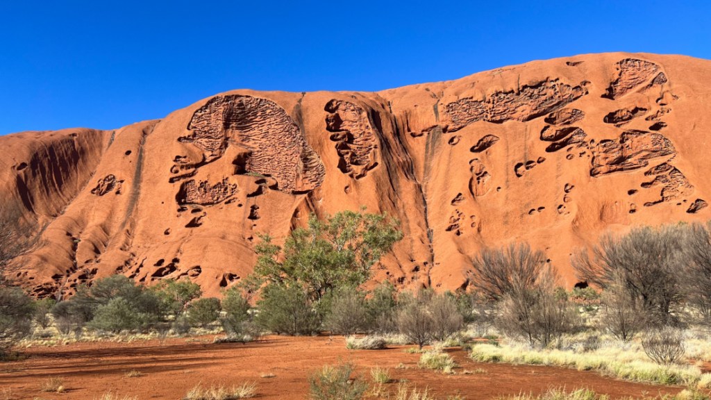
No, No not the Red Center from the Handmaid’s tale, but the colloquial name given to the southern desert region of the Northern Territory in Australia, the heart of the Australian Outback. Dominated by the largest monolith in the world Uluru, the rock is taller than the Eiffel tower and has a circumference of some 6 miles.

UNESCO’s World’s heritage listed ULURU
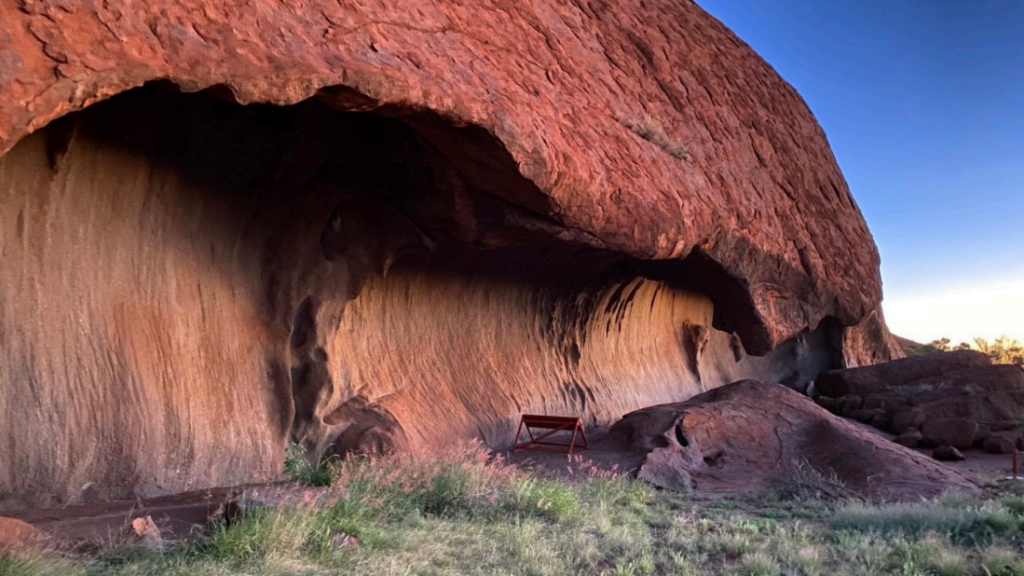
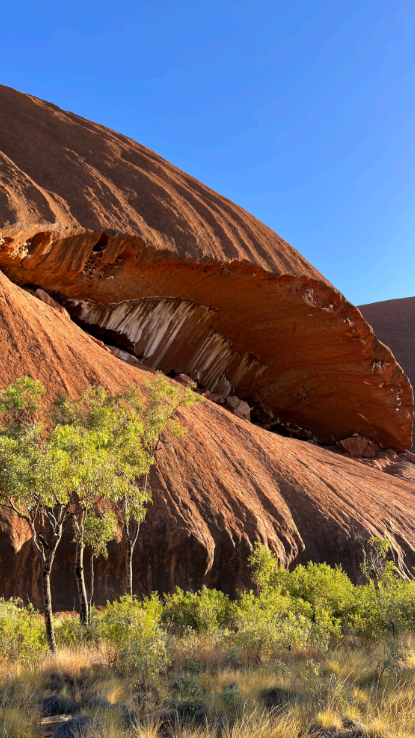
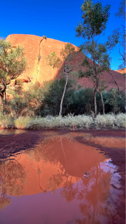
It’s sandstone formation changes color, most notably at dawn and sunset when it glows red.
The red color in the rock derives from iron oxide in the sandstone.
A word about rankings of the largest this or that. When it comes to rocks there is differing terminology whether a single rock or whether size of surface area is measured, and also as to how tall. One can find differing rankings depending of criteria used. Suffice it to say to be in view of such a monolith as Uluru is beyond words.
Where is ULURU? (formerly known as Ayers Rock), it is in the center of Australia. As approximately 87% of the 26 millions population of Australia lives within 50 miles of a coast, that leaves a sparse population in the center.
Further to give some indication of the remoteness of Uluru, look at the superimposition of Australia on the USA.
Put this together with the distances. Uluru is 200 miles from the nearest large town of Alice Springs, by road only.
Uluru is essentially halfway between Darwin in the north and Adelaide in the south with approximately 900 miles to each, by air. If one wants to drive, the nearest north/south highway- the Stuart Highway is 200 miles away through Alice Springs.

Changing light
Aside from the sheer size of Uluru in the flat landscape, the changing light at sunrise and sunset is what attracts so many. Just after sunrise and just before sunset : with that Golden Hour, the sun on the iron oxide makes it glow red.
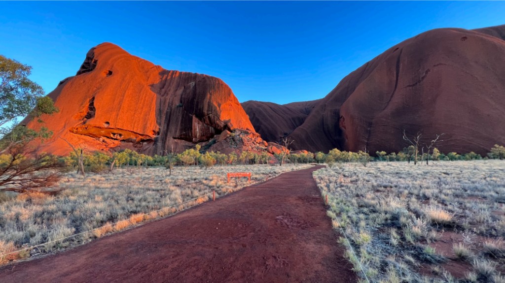


Especially the evening, in the BLUE HOUR, just after sunset there is another phenomenon: the “Belt of Venus” which is so dramatic at Uluru. This “Belt of Venus” is an atmospheric phenomenon that creates a pink band in the sky at sunset. It is actually the area between Earth’s shadow and the blue sky. This phenomenon occurs across the world BUT there is almost nowhere else where the horizon is flat in all directions to witness so well this “Belt of Venus”.
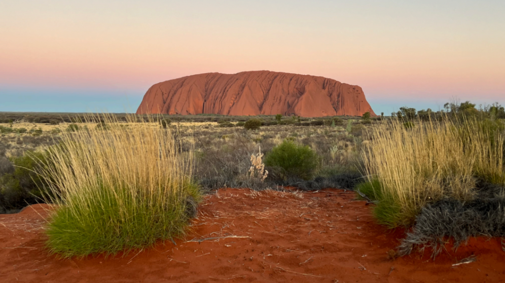
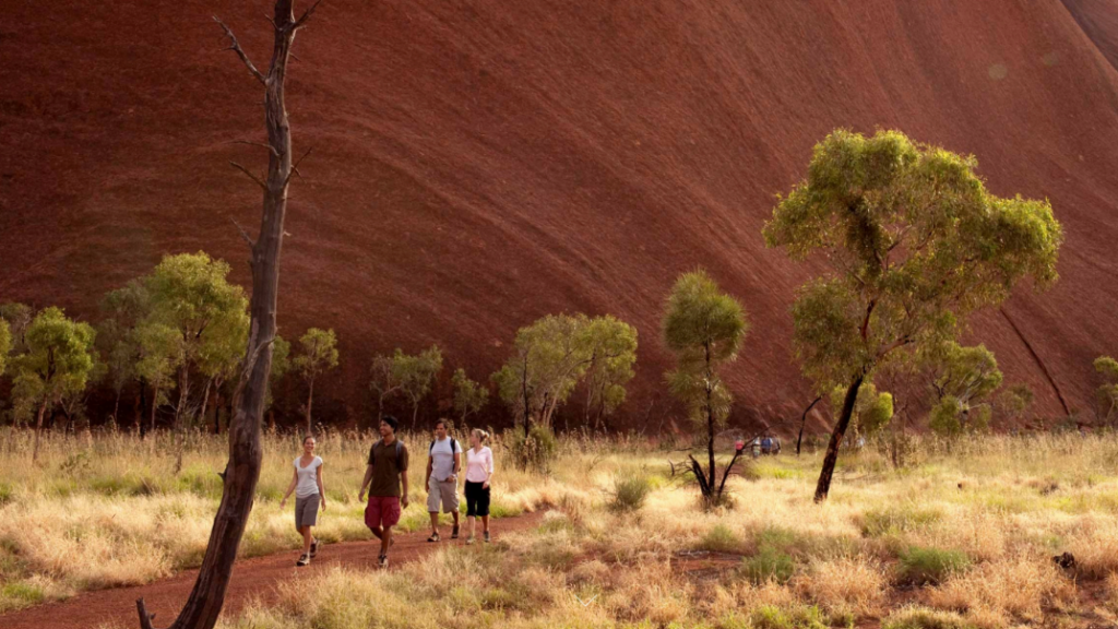
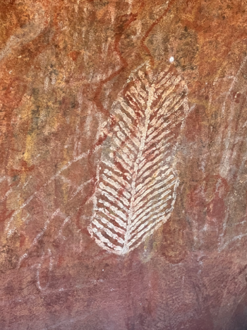
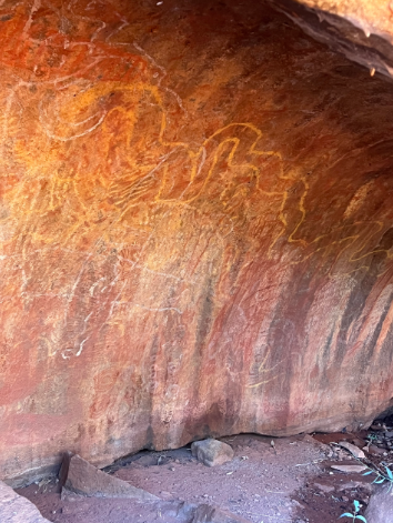
Hiking the 6 mile perimeter of Uluru, a guide can point out ancient Aboriginal Rock Art and some meanings. Believed that people have occupied this region for over 30,000 years, these paintings are a historic record of their experiences.
The Aṉangu aborigine traditional owners and park management have established ways to conserve the art sites. Although sites are maintained and wildlife nests removed, the art has endured for as much as 30,000 years without conservation methods.
Astonishing, especially if we consider that the breathtaking Vermeer paintings, being almost 400 years old are under almost constant conservation practices.
 |
 |
 |
 |
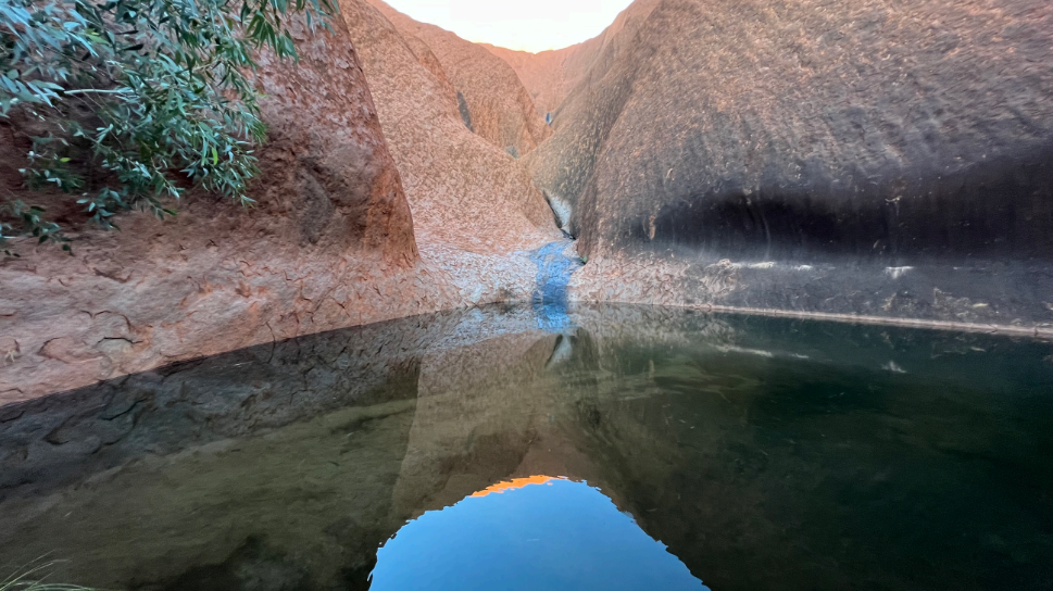
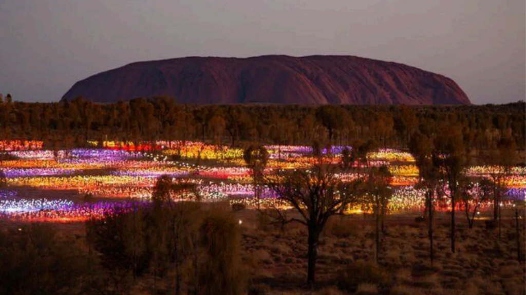
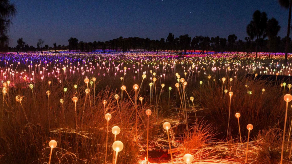
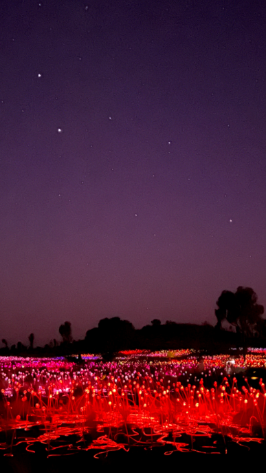
Field of Light is a critically acclaimed solar light installation at Uluru. The exhibition titled Tili Wiru Tjuta Nyakutjaku or ‘looking at lots of beautiful lights’ is an illuminating experience created by artist Bruce Munro. It features a collection of 50,000 spindles of light covering more than seven football fields, against that deep ocher backdrop of Uluru.
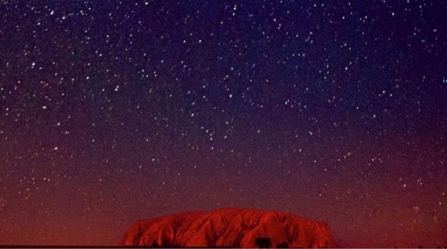
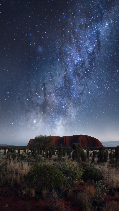
Oh and did I mention a few stars?
 |
 |
But is Uluru the only rock in the region? No, some 30 miles away are the Olgas or the Kata-Tjuta. These 36 large domes are spread over an area of some 15 miles with some domes higher than Uluru. Together with Uluru is formed the Uluru-Kata Tjuta National Park. Since 1985 when the area was handed back to the traditional owners, the park is jointly managed by the Australian government and the local Aṉangu Aboriginal people.
Dating back more than 30,000 years, the Aṉangu welcomed visitors to their sacred sites in the Uluru-Kata Tjuta National Park. For them the living cultural landscape of earth and memories exist as one. Hiking through creeks and canyons in the Olga’s Valley of the Winds is extremely popular.
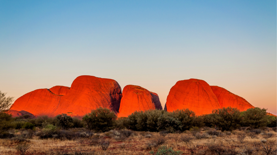
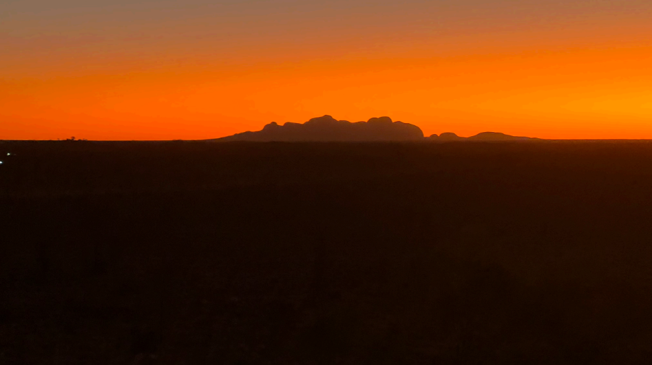
A few of the 36 domes of the Olgas: the Kata Tjuta, and below at sunset
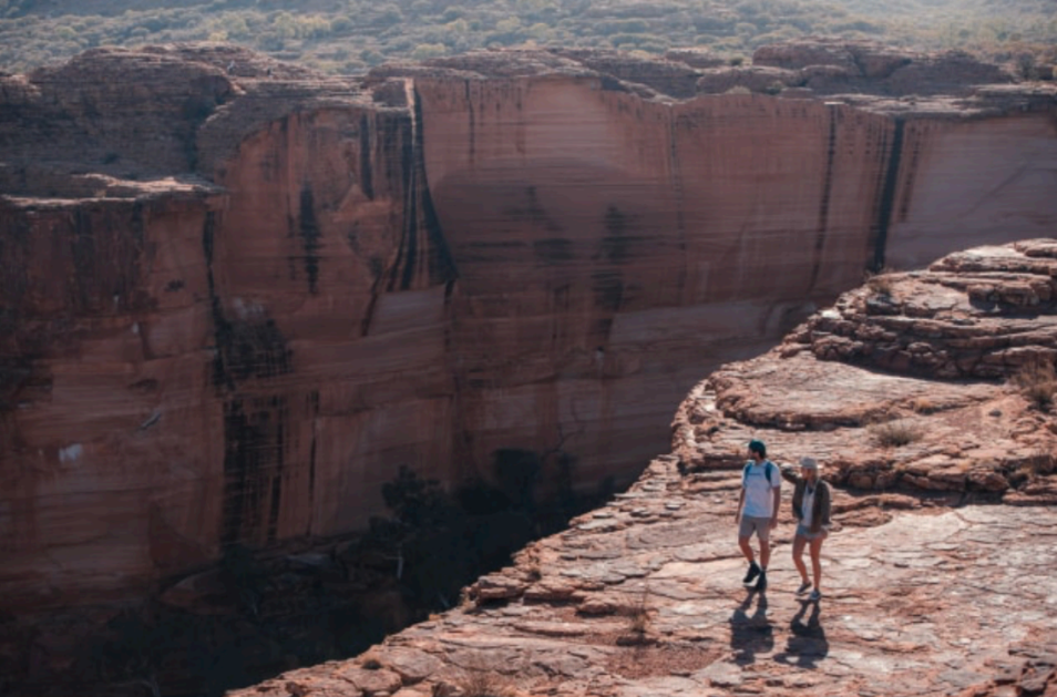
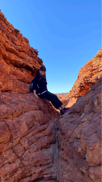
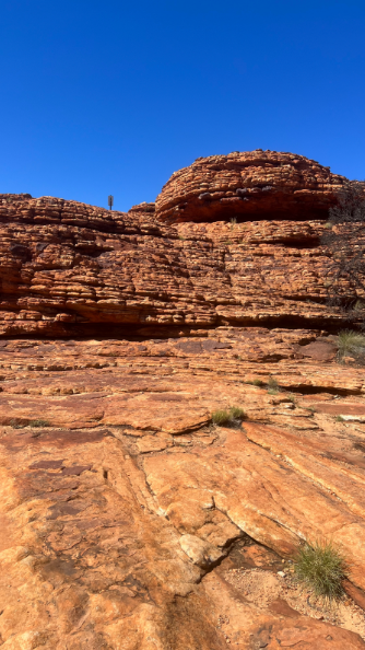
Not too far (just 190 miles) from Uluru is the Kings Canyon in the Watarrka National Park, part of the West MacDonnell Ranges.The walls of this canyon are some 330 feet to the valley. The King’s Canyon Rim walk is very popular-about a 4 mile, 3-4 hours hike, with a descent to the permanent waterhole of the “Garden of Eden” at the floor.
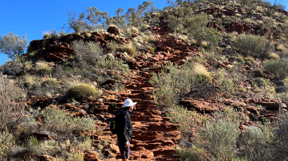
A daunting start to the Canyon Rim walk up 500 boulder steps, and then once up top, stay away from the edge!
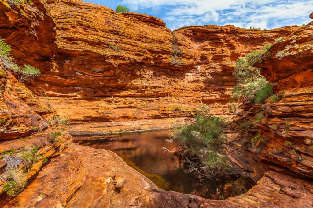
The Garden of Eden: permanent water at the base.
 |
 |
 |
Alice Springs
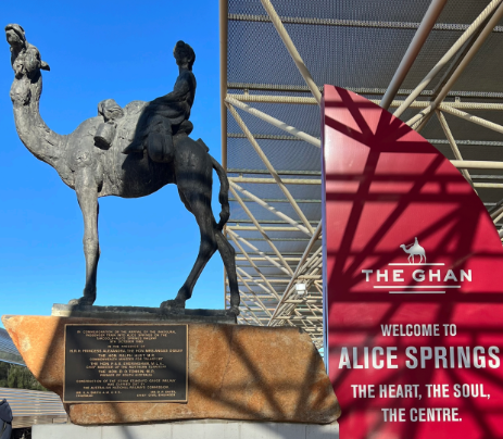
The largest town in the center of Australia, before 1933 was simply the name of a waterhole adjacent to the telegraph station. Today the tourism oriented Ghan train passes through Alice Springs en route from Adelaide to Darwin and back.The name Ghan is homage to the Afghan cameleers who arrived in 19th century to assist the British in colonisation.
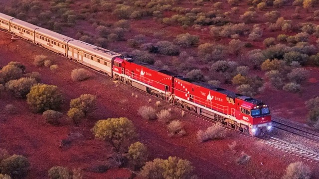
The Ghan
Camels
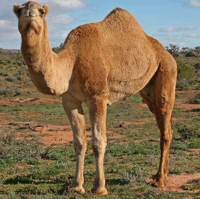
There are approximately 300,000 single hump (dromedary) wild camels in central Australia. Imported in 1840 for exploration journeys, and camel trains driven by Afghan cameleers. Some are now used for camel tourism.
 |
 |
What about other animals, plants and birds in the Outback?
Plants and trees in the outback of course are geared to the climate.
Prominent around Uluru is the desert poplar trees with spinifex across the floor. Sometimes mulga can be spotted.
Birds and animals are not prominent but can be spotted in quiet areas and with careful observation. Some animals are the dingo (wild dog,) the mala- the small rufus hare-wallaby, the thorny devil and the wild camels, mentioned above. Many plants and animals feature in aboriginal lore. They are NOT easily seen.
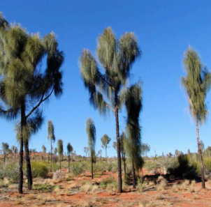
Desert Poplar with spinifex on the floor |
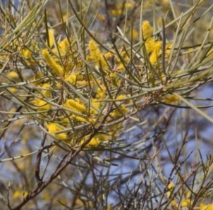
Mulga |
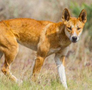
The Dingo |
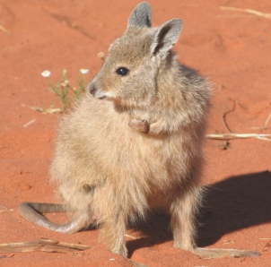
Mala |
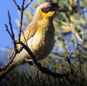
Grey Headed Honey Eater |
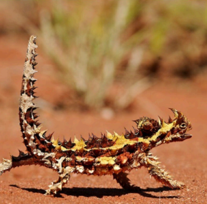
Thorny Devil |
Medical care in the Outback
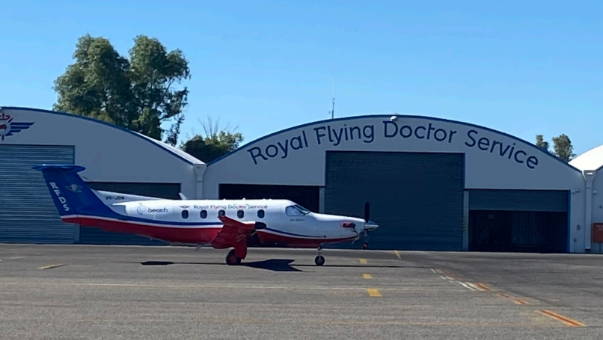
Royal Flying Doctor Service: the RFDS: Australia’s Biggest Waiting Room
The Royal Flying Doctor Service is one of the largest and most comprehensive aeromedical organizations globally, providing extensive primary health care and 24-hour emergency service to people who live, work, and travel across the some 3 million square miles of Australia.
Providing service since 1928, all remote areas and especially central Australia are dependent on the service.
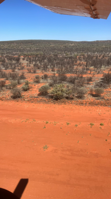
Remote? Here is runway 01 at King’s Station There is of course only 1 runway of red earth.
It is used by the Flying Doctor Service when called, and other small charter aircraft.
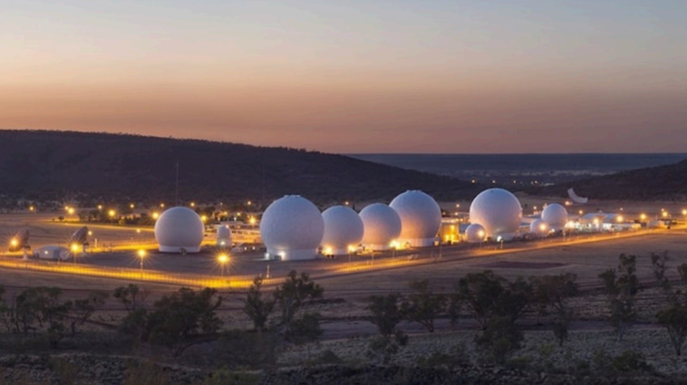
Pine Gap
Alice Springs’ population is approximately 30,000.
If one did not know why, it would be curious to hear so many American accents in the town. I say so many, because even though there are only approximately 800 Americans employed at Pine Gap, in a town like Alice of an overall small population, different accents are noticed.
You see about 10 miles from the town is PINE GAP, a US satellite surveillance base and Australian Earth Station. It is jointly operated by Australia and the United States, and since 1988 it has been officially called the Joint Defence Facility Pine Gap. The station is partly run by the US Central Intelligence Agency (CIA), US National Security Agency (NSA), and US National Reconnaissance Office (NRO) and is a key contributor to the NSA’s global interception/surveillance effort.
The location is strategically significant because it controls United States spy satellites as they pass over one-third of the globe, including China, the Asian parts of Russia, and the Middle East. Central Australia was chosen because it was too remote for spy ships passing in international waters to intercept the signal. The facility has become a key part of the local economy. This is because not only does it employ key personnel but also staff for the infrastructure of running the facility.

No, No tourist visits at Pine Gap
But you might want to find the TV series Pine Gap, an international political thriller TV series on Netflix which is set around the Australian and American joint defence intelligence facility at Pine Gap, south-west of the town of Alice Springs, Australia.
Other Gorges, National Parks are found throughout northern Australia. Areas such as the Kakadu, Arnhem land, the Kimberley are being explored more and more.
There are many places to fly, drive, hike, explore in the vast remote land, always observant of the harsh features with an almost entire absence of services.
Tour companies and operators know very well the pitfalls and one is advised to heed warnings be it crocodiles in streams, plants and animals which can harm or help.
The aborigines are very conversant in the healing powers of plants for healing e.g for soothing skin ailments, stomach ailments.
2 beautiful gorges are right in the middle of the country
The Standley Gorge, close to Alice Springs
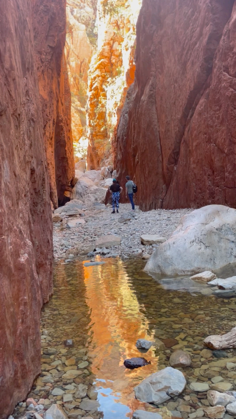
Standley Gorge near Alice Springs photo with kind permission Mary McCloskey
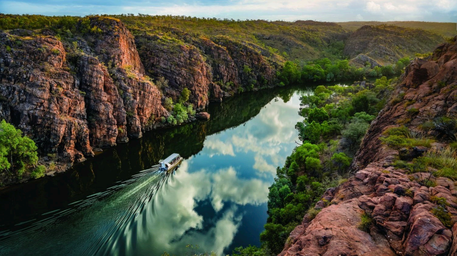
Nitmiluk Gorge is close to the town of Katherine, some 3 hrs south of Darwin. Take a cruise on the gorge to hear the history.
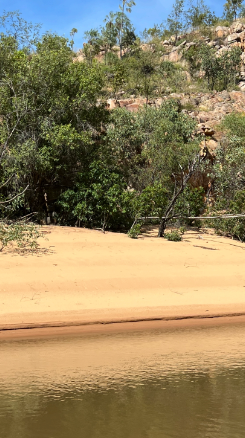
The gorge is home to many freshwater crocodiles who lay their eggs on these beaches.
 |
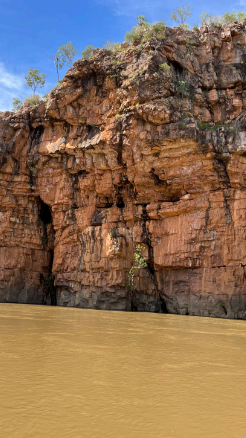 |
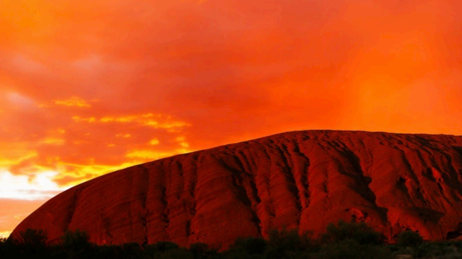
The Colors, the Remoteness, the Vast Emptiness of the Outback Red Center
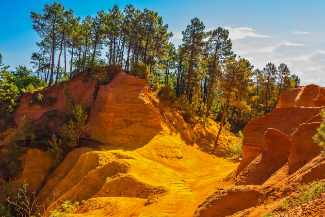
In the words of Dorothea McKellar
I love a sunburnt country, a land of sweeping plains,
Of ragged mountain ranges, of droughts and flooding rains.
I love her far horizons, I love her jewel-sea,
Her beauty and her terror- the wide brown land for me!
Notes and Links.
Photo of Jill : Joe Mazza Bravelux inc.
Photos copyright © 2023 Jill Lowe. All rights reserved
Images with Shutterstock license


